Balamkú
My guidebook mentioned that Balamkú was near Calakmul and was definitely worth a stop because of an enormous frieze that is actually open to the public. Now, I love art, but there’s a lot of art vocabulary that still baffles me and for some reason, I thought it would be a giant painted mural, maybe with a little bit of texture. I definitely wasn’t prepared for the size or scale of this piece of work. A nice guardian let me into the locked room and proceeded to share with me all of the animals carved into the giant stucco wall. There are four tall sections which are composed of a king on top, an amphibian in the middle, and the “monstruo de la tierra” (Earth monster) at the bottom. In between these four kings are kneeling jaguars. The whole scene represents entering the underworld for whatever rituals needed to be conducted there. Click on the images if you want bigger photos.

tall king section of frieze, jaguar (look for the claws), frieze and me (for scale)

pyramid view, decorative archway, and trees growing through steps on the main plaza
Within a short drive of Balamkú, the Zotz Cave puts on a nightly show with over 3 million bats leaving the cave to go in search of their dinner. There’s only room for about 20 people to watch from a path overlooking the cave. Right around sunset, the bats start to emerge. Eventually, it looks like a giant bat volcano and there are so many that the bats sometimes collide with the humans that are standing around. One bat attached to my shirt and another one landed in my hair. They both safely detached and went on their way. There are between 7-10 different species of bats that live in the cave and most of them join this nightly insect feast.
Chicanná
This site doesn’t have giant pyramids, but instead is a small town filled with intricate carvings and decorations. Chicanná got its name from one building in particular – the House of the Serpent Mouth. Chi means “mouth,” can means “serpent,” and na means “house” (thank you, Wikipedia). This building is still incredibly well-preserved, but when it was built around 750CE, it would have covered in a layer of stucco and been painted in vivid colors including red and green. This elaborate carving probably represents the monster of the underworld. No one knows exactly how this building was used, but one idea is that rituals were conducted here and this door representing a symbolic portal between the middle world (where humans reside) and the underworld.
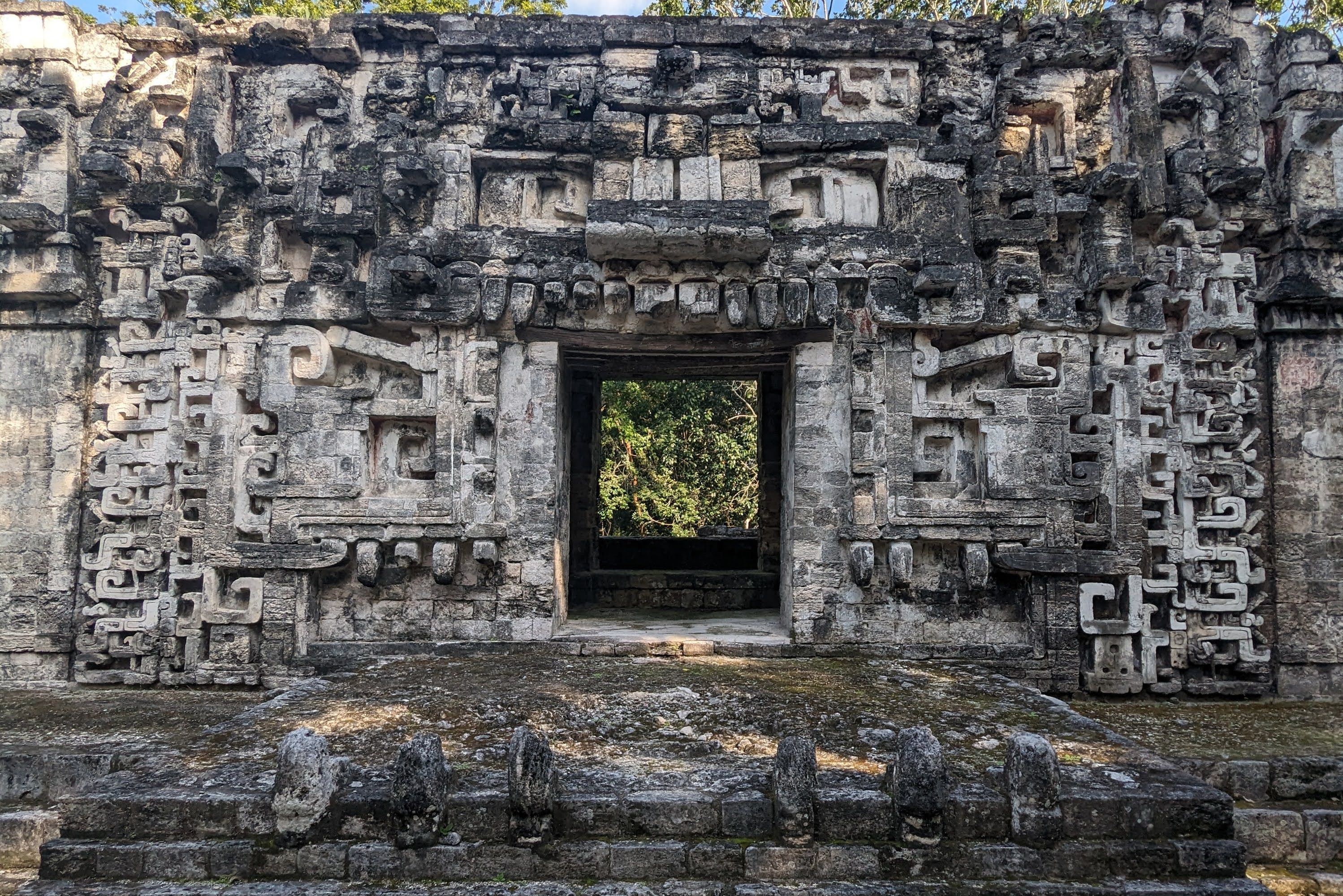
House of the Serpent Mouth
Because of the huge number of decorations, archeologists think this was a town for elites where some rituals would’ve been conducted. It’s situated very close to Becán and probably functioned as a rich suburban enclave.

close-up of carvings
Becán
Becán is a big city with a giant pyramid. Due to some complicated rental car logistics, I only had about an hour to run around and climb up these awesome ruins. I definitely wished I’d budgeted some more time for this sprawling site. This city was surrounded by a giant moat, which probably functioned to both protect the city, as well as to serve as a supply of water for the town itself. It served as regional capital for the surrounding countryside where goods were brought and distributed to other locations.

biggest pyramid in Becán (Structure IX), view from the top of the pyramid down onto another ruins (Structure VIII)
One of the most interesting parts of Becán was how much housing has been uncovered and is open to tourists to enter. The rooms are relatively small, but most of them have some kind of built-in bench or bed. The Mayan arch is a a set of parallel walls that at some point is angled inwards and is then covered with a single layer of wide bricks at the very top. This approach to construction appears frequently in Río Bec architecture, the style associated with Becán, Chicanná, and Xpujil.

really thick tunnel wall with a Mayan arch, view from the top of one of the ruins, typically Mayan bedroom with Mayan arch above
Xpujil
This is a relatively small site, located close to Xpujil (pronounced eesh-poo-heel) town which is why it gets a lot of visitors. Río Bec architecture frequently includes rounded corners, temples with two towers (although this one has three), and monster mouth doorways. My photos of the large temple with three towers didn’t come out to well with the shadows from the afternoon sun.

carvings, close up of one of the temples three towers with clear layers, tree growing on top of the ruins
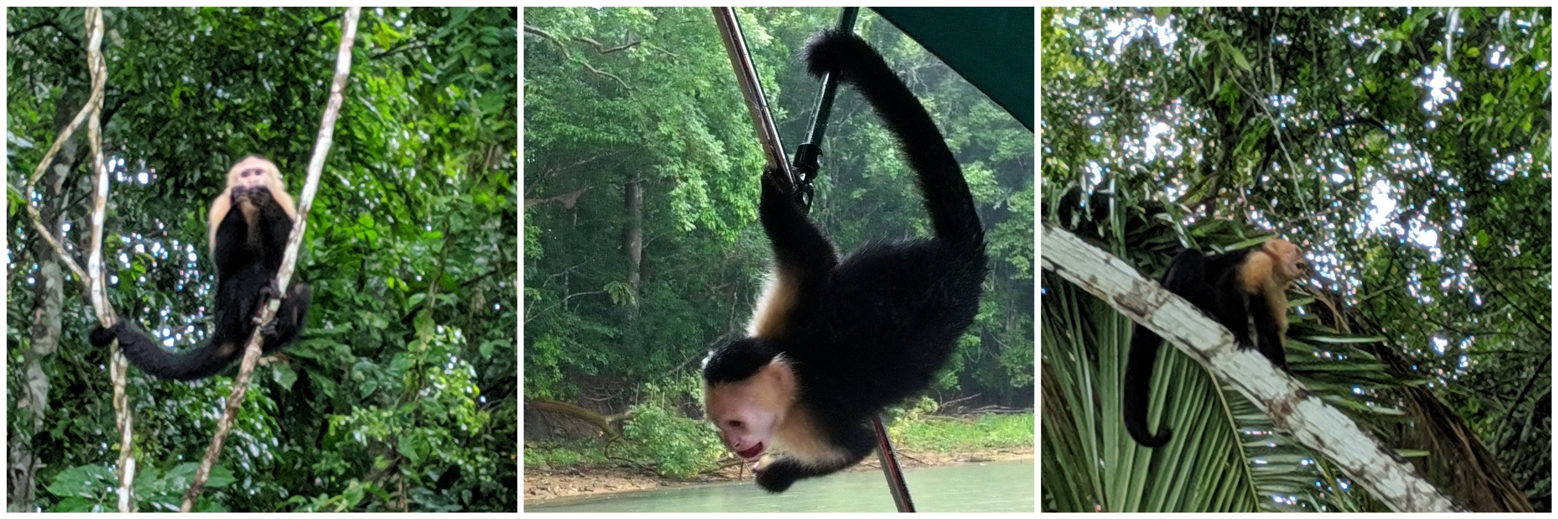
If you made it this far, here’s a bonus video of spider monkeys playing around in Balamkú.


